A professional land surveyor establishes the legal and physical framework a project is built on. This includes boundary surveys to verify lot lines, identification of existing easements and rights-of-way, and preparation of final plats for recording. Survey work ties title reports to conditions on the ground, resolving discrepancies and confirming what can and cannot be built within a parcel. The surveyor coordinates with engineers and municipalities to ensure plats reflect approved layouts, utility easements, access, and dedications. In practice, this involves staking property corners, mapping improvements, and documenting constraints that affect development. The process supports both entitlement and construction by defining ownership, development limits, and the exact configuration of lots, streets, and easements before a project moves forward.
Services Provided:
- ALTA/ACSM Land Title Surveys
- Expert Witness
- Boundary Surveys
- Boundary Line Agreement
- Property Surveys
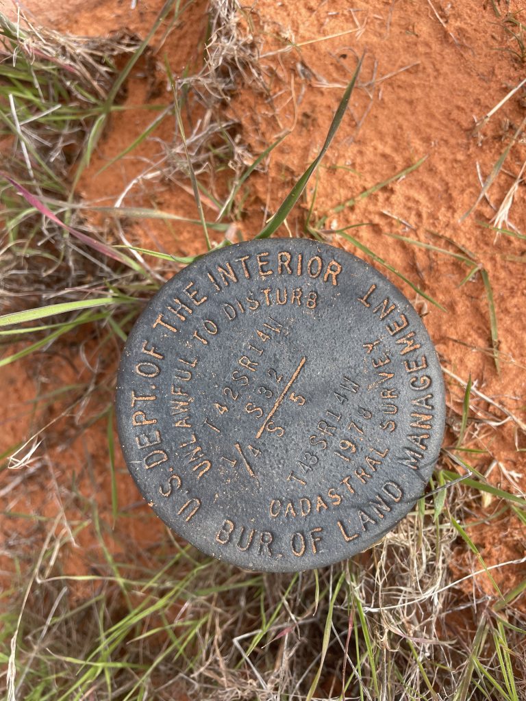
- Public Lands Surveys
- Construction Staking
- Topographical Surveys
- Right of Way Surveys
- Utility Corridors
- Legal Descriptions and Easements
- Complete Platting Services
- Well Site Surveys